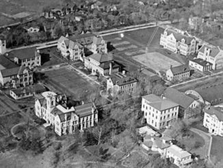

John Naulls created this historical 1913-1934 Leaside Map for Leaside Matters Lea Exhibit in May. The map was created from archival information at the Toronto Reference Library, Leaside maps from 1913, 1918, 1924, 1934 and aerial photos from 1918, 1930, 1940 and 1942. The map is $20 and will be available at the Leaside Rotary Corn Roast in September, or from Leaside Matters via this email.

Why did you create this map?
I wanted to graphically show the history and geography of Leaside from its incorporation as a town in 1913 to the period immediately prior to the dramatic housing boom of the late 1930s and early 1940s. To me that is the most interesting 20-year period in its 100-year history because it includes Leaside’s industrial beginnings, as a railway town, heavy industry and airfield, through to the closing of the airfield in 1931, and the rail yards in 1933, signalling a change.
Why did you choose 1913 and 1934?
1913 was the year Leaside was incorporated and therefore the town was able to take control of its own destiny.
1934 was the last year for which there are fire protection maps for Leaside. These maps were privately produced and in 1934 town council stopped paying for them.
What was happening in 1913?
Leaside in 1913 was expecting industrial growth and land development; half the farm lots were already sold to real estate companies, and major industries like Canada Wire and Cable were setting up in the industrial area.
The town council for the newly established town recognized its first order of business was laying out a road system; they already had the town street plan, they just had to implement it.
Canada Wire built 68 houses on the east side. Later in 1928-29 there was an influx of houses on the west side and some stores were established on Bayview, to take advantage of the availability of water and hydro from Toronto.
What happened after 1934?
That was when Leaside really took off.
The Gatineau Power Station was constructed and the power line arrived in the 1920s, making power available for all of Leaside. And the Leaside Bridge was constructed in 1928 opening Leaside to the east. But the Great Depression followed in 1929-30. So the opportunities afforded by power and better road access were not realized until the late 1930s.
So is there another map in the offing?
There definitely needs to be another map for the 1935 to 1955 period. But it all depends on getting the time and the energy to create it.