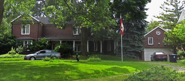

What is the essence of Leaside character? Many would say it is the curved leafy streets (regular readers know that this column is mostly about the place, not the people!).

In November’s column we wrote about Parkhurst Blvd. and how the streetscape is more than the individual houses on a block; so the character is also dependent on the design pattern and arrangement of the streets themselves.
It can be argued that the character of Leaside was pre-determined over 100 years ago, by a Montreal landscape architect called Frederick Todd. Todd was hired by the Canadian Northern Railway to lay out a town so that lots could be sold to raise money to pay for the the company’s expansion, including new maintenance facilities in Leaside.
(There is a large story here about Leaside as a railway town that we will come back to later this spring.)
Todd’s plan for Leaside is a departure from the earlier military grid pattern of development in Ontario.
Leaside has been called the first planned community in Ontario, and predates by over 40 years our neighbouring suburb of Don Mills (which displays this boast on a sign just north of Eglinton on Leslie). Leaside’s plan was ahead of its time in providing for separation of the residential areas (west of Laird) and industrial areas (east of Laird). Today we might call it a “complete community”.
The plan is a modified wavy grid, with a diagonal cutting across south-west to north-east (today it survives as McRae Dr.).
John Sewell writes in The Shape of the City, “The (Leaside) plan possesses a certain elegance. A diagonal road slices the site and is the location for non-residential uses including administrative buildings, offices, and shops. Residential streets are set on a nicely modified grid, with boulevards between the roadway and the sidewalk.”
So that is the “curved” part of today’s “curved leafy streets” moniker. The “leafy” part was the result of a far-sighted council that purchased trees for each lot.
When the Town of Leaside was designed in 1912, little consideration was given to the old settlement roads, or the farmsteads, the original dwellings in the area.
So what pattern existed in Leaside before Todd’s plan was imposed on the landscape?
As in rural areas today, land was divided based on the lot and concession pattern. Trails connected the farmsteads to the city of Toronto to the south and west. The best known trail is Lea’s Lane which connected the Lea family farms to Yonge St.
In an earlier column (September 2012) we described how the settler farm houses of James Lea (201 Sutherland), and John Edmund Lea (33 Heather Rd.) are disoriented on the lot; they were built to face onto Lea’s lane, which went over to William Lea’s octagonal farmstead, Leaside near Leaside arena.